
Very heavy rains above 150mm possible for Sri Lanka due to depression
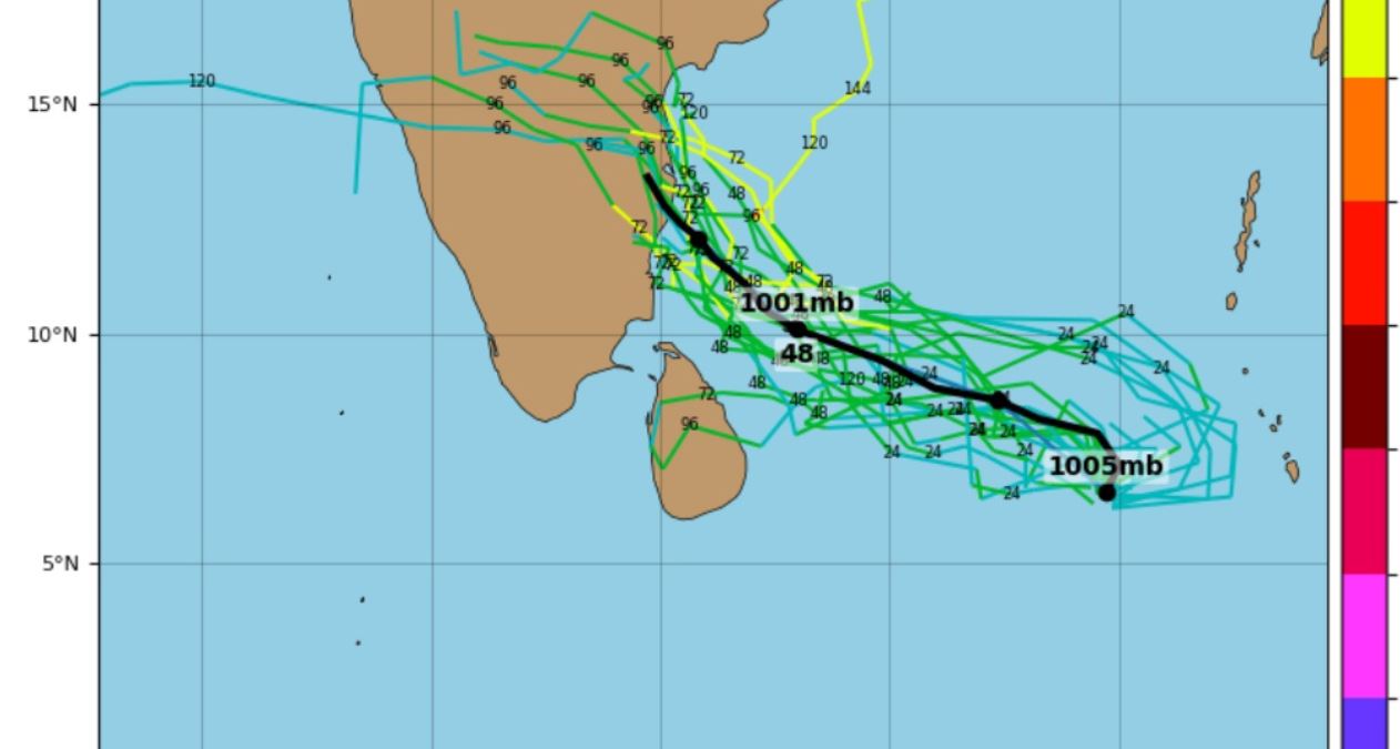
A low pressure area has formed over south east Bay of Bengal. There are chances of intensification of the low pressure area and movement towards India’s Tamil Nadu coast. The system is likely to intensify into a depression over southwest Bay of Bengal and adjoining north Sri Lanka around November 11. Some Meteorologists forecast the depression will become a Cyclone Jawad.
Due to this system, Prevailing Showery weather over the island is expected to continue today. Showers or thundershowers will occur at times over most parts of the island.
Very heavy rains above 150mm are likely at some places in Northern, North-western, Western and Sabaragamuwa provinces and in Anuradhapura, Trincomalee, Nuwara-Eliya and Kandy districts. Heavy showers about 100 mm can be expected at some places in Matale, Polonnaruwa, Galle and Matara districts.
National Building Research Organization NBRO issued landslides alert for several districts due to prevailing rainy condition.
Irrigation Department says water levels of Kelani, Attanagalu Oya, Maya Oya, Kalu and Nilawala rivers are slowly rising and reaching minor flood situation. Major flood situation reports in Giriulla and Gurugoda Oya Holombuwa area. Minor flood situation reports in Thalagahagoda, Kitulgala, Baddegama, Dunamale, Badalagama and Millakanda areas.
Irrigation Department issued pre-flood warning for several river basins. There is a high probability of occurring flood situations in lowline flood prone areas of several rivers.
People living in Deduru Oya Basin, Maha Oya Basin, Attanagalu Oya Basin, Kelani Ganga Basin, Kalu Ganga Basin, enthara Ganga Basin, Gin Ganga Basin, Nilwala Ganga Basin and Kala Oya Basin are kindly requested to be vigilant in this regards.
General public is kindly requested to take adequate precautions to minimize damages caused by temporary localized strong winds and lightning during thundershowers. (LankaXpress.com)