
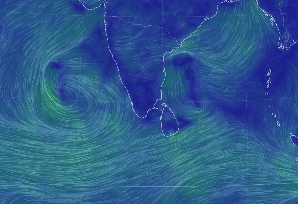
A low-level atmospheric disturbance develops to the south of Sri Lanka
The Northeast monsoon is gradually establishing over the island.
A low-level atmospheric disturbance is developing to the south of Sri Lanka. Under the influence of the system, cloudy skies can be expected in the southern half of the island.
Showers will occur at times in the Eastern, Central and Uva provinces and in Matara, Hambantota and Polonnaruwa districts. Fairly heavy falls above 75 mm can be expected at some places in these areas.
Several spells of showers will occur in Northern province and in Anuradhapura district.
Showers or thundershowers will occur elsewhere during the evening or night. Fairly heavy falls about 75 mm can be expected at some places in these areas.
General public is kindly requested to take adequate precautions to minimize damages caused by temporary localized strong winds and lightning during thundershowers.
WEATHER FORECAST FOR SEA AREAS AROUND THE ISLAND DURING NEXT 24 HOURS Issued at 05.30 a.m. on 14 December 2021
A low-level atmospheric disturbance is developing to the south of Sri Lanka.
The fishing and naval community engaged in fishing activities from Galle to Hambantota are requested to be vigilant in this regard.
Condition of Rain:
Showers or thundershowers will occur at several places in the sea areas extending from Trincomalee to Hambantota via Batticaloa and Potuvil. Showers or thundershowers will occur at several places in the other sea areas during the evening or night.
Winds:
Winds will be north-easterly in direction. The wind speed will be (20-30) kmph and can increase up to 40 kmph at times in the sea areas around the island.
Wind speed can increase up to (40-50) kmph at times in the sea areas extending from Matara to Potuvil via Hambanthota.
State of Sea:
The sea areas extending from Matara to Potuvil via Hambanthota can be rough at times. The other sea areas around the island will be moderate to fairly rough.
Temporarily strong gusty winds and very rough seas can be expected during thundershowers.