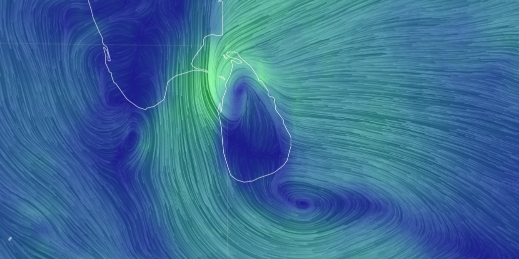
Depression over Southeast Bay of Bengal will develop into a cyclonic storm: Meteorological Department
A low-pressure area located over the south Andaman Sea and adjoining southeast Bay of Bengal is likely to move west-northwestwards and intensify into a depression over southeast Bay of Bengal around today, and it will further develop into a cyclonic storm, the Forecasting Division of the National Meteorological Centre said.
Therefore, the fishing and naval communities are requested to be attentive to future forecasts issued by the Department.
The sea areas off the coast extending from Chilaw to Trincomalee via Puttalam and Kankesanthurai and from Galle to Hambantota via Matara will be moderate, and the other sea areas around the island will be slight.
Meanwhile, showery weather conditions are expected to improve over the island due to an atmospheric disturbance over the southeast Bay of Bengal Sea area.
These heavy showers of about 100 mm are likely in the Northern, Eastern, Central, and Uva Provinces after 1:00 p.m.
Meanwhile, showers will occur at times in the Northern, North-Central and Eastern Provinces.
Therefore, the public is requested to take adequate precautions to minimize damages caused by temporary localized strong winds and lightning during thundershowers.